Character houses, Quimperlé
Maison des Archers
Maison dite Maison des Archers
- Town
- Quimperlé
- Type
- Character houses
- Period
- 15th–16th century
- Protection
- Classified in 1972
- Legal status (survey)
- Public or institutional property
- Shore
- 8.5 km
- Today
- Lieu d'exposition · Maison des Archers

In brief
Maison des Archers is a 15th–16th century character house in Quimperlé, southern Finistère, classified in 1972. Public or institutional property. 8.5 km from the shore as the crow flies, 43.0 km from Quimper railway station and 47.8 km from Quimper-Cornouaille airport. Today: lieu d'exposition (Maison des Archers) (in French).
History
Official heritage record, in French:
Façade en pans de bois formée d'un grand corps et d'une partie en saillie. Le grand corps est ouvert, au rez-de-chaussée, d'une porte centrale surmontée d'un arc en accolade mouluré. Chaque étage est en avancée sur le précédent. Les corbeaux sont soutenus par des culs-de-lampes en bois sculptés. La tourelle d'escalier est soutenue au sud-ouest par un contrefort. L'intérieur de la maison possède des boiseries Louis XV au premier étage.
Text of the Mérimée record, French Ministry of Culture, open licence.
Timeline
Dates from the official record and the sources cited, in order (in French).
- 1505La maison des Archers, au 7 rue Dom-Morice, a été élevée dans la première moitié du XVIe siècle ; la dendrochronologie date l'abattage de ses bois de l'hiver 1504-1505. (Inventaire, Région Bretagne)
- 1738Au XVIIe siècle, la maison appartenait à la famille Gourhael, notaires ; une aile nord-ouest fut ajoutée à cette époque et un linteau porte la date de 1738. (Inventaire, Région Bretagne)
- 1972Classée monument historique le 7 décembre 1972, elle fut restaurée par des bénévoles jusqu'en 1975. (Inventaire, Région Bretagne)
Protection
Classified in 1972.
Protected elements (in French): Maison dite Maison des Archers (cad. F 333) : classement par arrêté du 7 décembre 1972
Classification requires authorisation and State scientific and technical control for any change to the protected parts; a sale must be notified to the administration and the buyer informed. Restoration works may be subsidised and benefit from a specific tax regime.


From the air
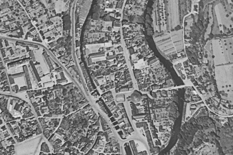
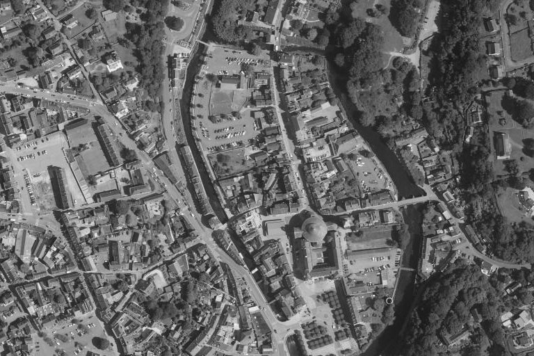
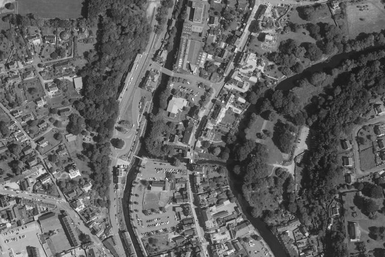
The same place, same framing: aerial photographs from the 1950s and today, centred on the footprint recorded by the heritage survey or on the record’s location.
The site through old maps
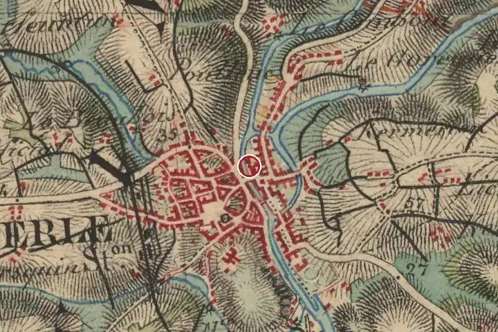
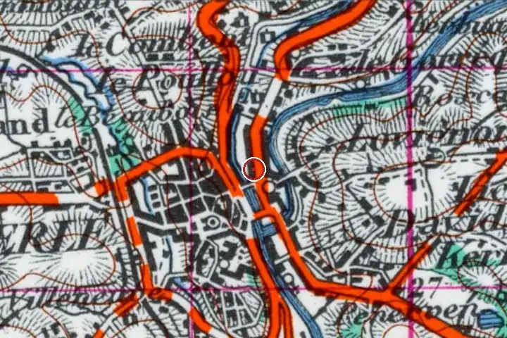
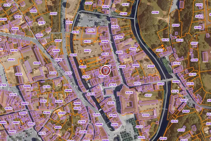
Three centuries of mapping, same centre: the red marker shows the location given by the record. Old place names, roads and woodland can be read on the Cassini and staff maps.

Further reading
References and official records.
Around the house
House sales 2021–2025 within a radius of the record’s location (DGFiP land registry, single houses with known floor area). These figures describe the neighbourhood, never the house itself.
| Sales | Median price | Median €/m² | Median size | |
|---|---|---|---|---|
| Within 1 km | 315 | €180,000 | €1,988 | 93 m² |
| Within 3 km | 699 | €195,000 | €2,056 | 97 m² |
The local market
Aggregated town figures. Ti Kaer never links a named house to a sale price.
Other dossiers in Quimperlé
All dossiers

Questions
Can Maison des Archers be visited?
The site is open to the public today: lieu d'exposition (Maison des Archers). Access and opening dates on the venue’s website.
How old is Maison des Archers?
The oldest recorded parts date from the 15th–16th century.
Is Maison des Archers a listed building?
Classified in 1972. Works on the protected parts require the approval of the French heritage architect.
How far is Maison des Archers from the sea?
8.5 km from the shore as the crow flies. Quimper station is 43.0 km away and Quimper-Cornouaille airport 47.8 km.
Most of these houses are private homes and cannot be visited unless stated otherwise. No address is published.
A great house cannot be valued online.
A written valuation, prepared after a visit from comparable sales, for your eyes only. No publicity, no commitment.
Request a valuationHouses, before they are published.
Join the buyers’ list and receive, according to your search, the properties entrusted to us before they go online. In English or French.
Join the buyers’ listSources: Mérimée database, record PA00090389, French Ministry of Culture, open licence; Wikidata Q22926463; distances computed from IGN municipal boundaries (Admin Express, open licence). Photographs: Wikimedia Commons, under the licence stated in each caption. Aerial views: IGN, open licence. Market: DGFiP land registry data, aggregated. Old maps and land registry: IGN, BnF, DGFiP, open licence. Additional facts: websites cited, consulted on 3 November 2026. No data on current owners.