Châteaux, Douarnenez
Château dit Manoir de Kerlouarnec
Château dit Manoir de Kerlouarnec, Ploaré (Douarnenez)
- Town
- Douarnenez
- Type
- Châteaux
- Period
- 19th century
- Protection
- Not listed
- Architect, author
- Bühler (paysagiste) ; Bigot Joseph(architecte)
- Legal status (survey)
- Private property
- Materials
- granite, schiste, moellon, pierre de taille, ardoise
- Shore
- 0.6 km
In brief
Château dit Manoir de Kerlouarnec is a 19th century château in Douarnenez, southern Finistère. Materials recorded: granite, schiste, moellon, pierre de taille, ardoise. The estate includes logement, édifice agricole, parc, serre, jardin potager. Private property. 0.6 km from the shore as the crow flies, 18.9 km from Quimper railway station and 16.0 km from Quimper-Cornouaille airport. Surveyed by the Brittany regional heritage inventory (Inventaire des châteaux du 19e siècle en Bretagne, 1980,).
History
Official heritage record, in French:
Château construit vers 1856 par l'architecte quimperois Joseph Bigot pour M. Halma du Fretay, maire de Ploaré, qui avait acquis la propriété après 1826. L'ancien manoir est transformé en communs. Le parc paysager est attribué aux frères Bülher.
Text of the Brittany regional heritage survey (Région Bretagne), record IA00005833, survey 1980, written 1980,, reproduced unchanged; consulted on patrimoine.bzh on 3 November 2026.
Timeline
Dates from the official record and the sources cited, in order (in French).
- 1820René Laennec passe ses dernières années à Kerlouarnec à partir de 1820 et est inhumé au cimetière de Ploaré. (Wikipédia)
- 1826Halma du Fretay, maire de Ploaré, qui avait acquis la propriété après 1826.
- 1856Château construit vers 1856 par l'architecte quimperois Joseph Bigot pour M.
The estate
As recorded by the regional heritage survey.
- Designation
- manoir, château
- Component parts
- logement, édifice agricole, parc, serre, jardin potager
- Typology
- ex-nihilo (site ancien). Néo-XVIIIe
- Detailed dating
- 3e quart 19e siècle
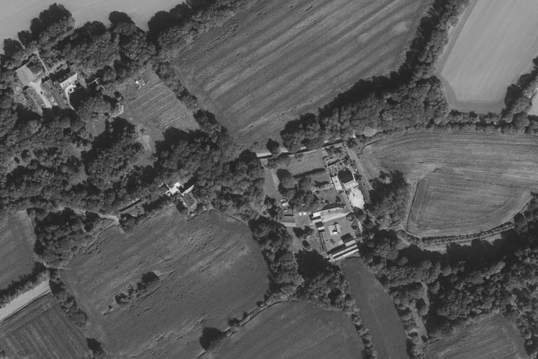
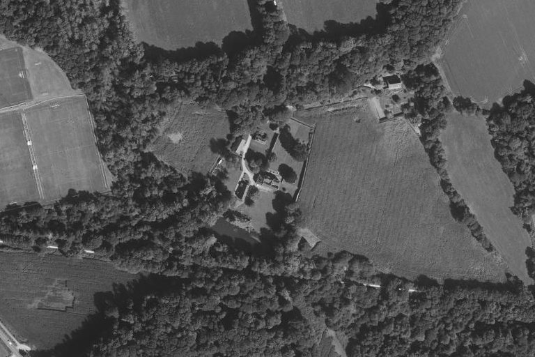
From the air
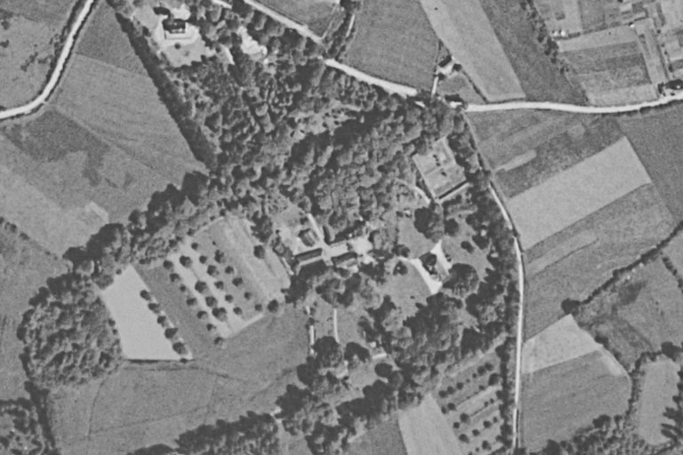
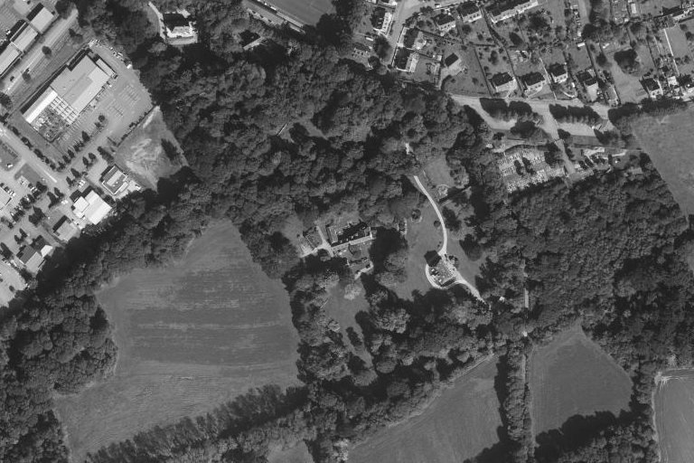
The same place, same framing: aerial photographs from the 1950s and today, centred on the footprint recorded by the heritage survey or on the record’s location.
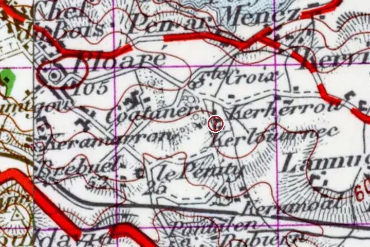
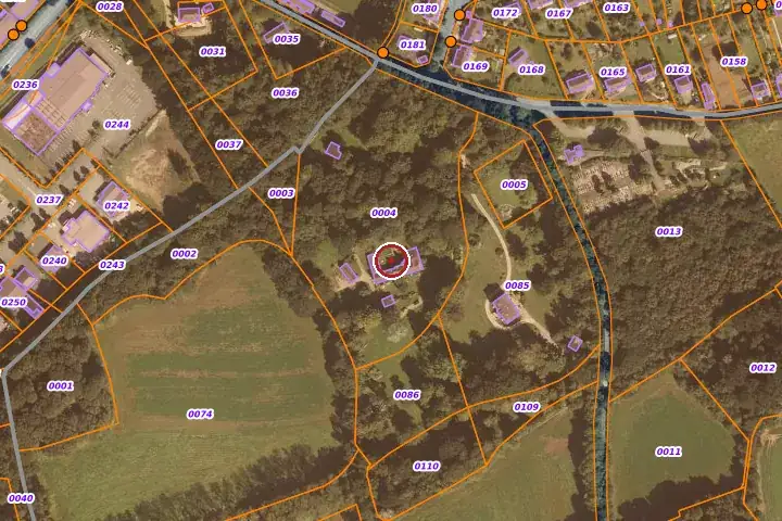
The site through old maps
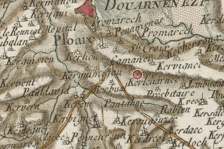
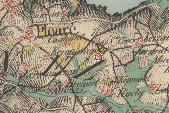
Three centuries of mapping, same centre: the red marker shows the location given by the record. Old place names, roads and woodland can be read on the Cassini and staff maps.
Further reading
References and official records.
- Dossier d’Inventaire IA00005833, Région Bretagne
- Wikidata Q124337121
- RANNOU, Nolwenn. L'exercice de l'architecture et de la restauration en France au XIXe siècle : la carrière de Joseph Bigot (1807-1894), architecte finistérien. Université Rennes 2-Haute-Bretagne, thèse sous la direction de Jean-Yves ANDRIEUX, 2004.
- Inventaire topographique sur le canton de Douarnenez, 1980 :
Around the house
House sales 2021–2025 within a radius of the record’s location (DGFiP land registry, single houses with known floor area). These figures describe the neighbourhood, never the house itself.
| Sales | Median price | Median €/m² | Median size | |
|---|---|---|---|---|
| Within 1 km | 119 | €195,000 | €2,195 | 85 m² |
| Within 3 km | 660 | €193,205 | €2,060 | 95 m² |
The local market
Aggregated town figures. Ti Kaer never links a named house to a sale price.
The sea-view premium in Douarnenez
Median price per m² of houses sold by distance to the shore, 2021-2025, all houses.
Other dossiers in Douarnenez
All dossiers
Questions
Can Château dit Manoir de Kerlouarnec be visited?
No: it is a private property and cannot be visited, except for occasional openings announced by the owners.
How old is Château dit Manoir de Kerlouarnec?
The oldest recorded parts date from the 19th century.
Is Château dit Manoir de Kerlouarnec a listed building?
No. It is neither listed nor classified as a historic monument according to the databases consulted; it appears in the regional heritage inventory, which carries no constraint.
How far is Château dit Manoir de Kerlouarnec from the sea?
0.6 km from the shore as the crow flies. Quimper station is 18.9 km away and Quimper-Cornouaille airport 16.0 km.
Most of these houses are private homes and cannot be visited unless stated otherwise. No address is published.
A great house cannot be valued online.
A written valuation, prepared after a visit from comparable sales, for your eyes only. No publicity, no commitment.
Request a valuationHouses, before they are published.
Join the buyers’ list and receive, according to your search, the properties entrusted to us before they go online. In English or French.
Join the buyers’ listSources: regional heritage survey; Brittany regional heritage survey, Région Bretagne, record IA00005833 (patrimoine.bzh), open licence for the data, texts reproduced unchanged; Wikidata Q124337121; distances computed from IGN municipal boundaries (Admin Express, open licence). Photographs: Wikimedia Commons, under the licence stated in each caption. Aerial views: IGN, open licence. Market: DGFiP land registry data, aggregated. Old maps and land registry: IGN, BnF, DGFiP, open licence. Additional facts: websites cited, consulted on 3 November 2026. No data on current owners.