Unusual places, Clohars-Carnoët
Conserverie Capitaine Cook
Ancienne conserverie Capitaine Cook, chemin du Phare, Doëlan (Clohars-Carnoët)
- Town
- Clohars-Carnoët
- Type
- Unusual places
- Period
- 19th–20th century
- Protection
- Not listed
- Architect, author
- Bois Pierre(commanditaire)
- Legal status (survey)
- Private property
- Shore
- 0.0 km
In brief
Conserverie Capitaine Cook is a 19th–20th century unusual place in Clohars-Carnoët, southern Finistère. Private property. 0.0 km from the shore as the crow flies, 43.9 km from Quimper railway station and 47.5 km from Quimper-Cornouaille airport. Surveyed by the Brittany regional heritage inventory (Inventaire du patrimoine maritime de Crozon Roscanvel Camaret Clohars-Carnoët Larmor-Plage et Sené, 2008).
History
Official heritage record, in French:
En 1865, le négociant lorientais Pierre Bois (aussi orthographié Boy ou Boys) construit une usine à l´entrée de l´anse de Doëlan, sur la rive gauche alors uniquement desservie par voie maritime car la seule route s´arrête à l´époque au Vieux Doëlan. En effet, il faut attendre le prolongement en direction du phare aval de la route pour permettre la desserte de l´usine par voie de terre. Pierre Bois s´installe à cet endroit pour deux raisons : il choisit un lieu vierge pour ne pas avoir à subir la même déconvenue qu´à Lorient, d´où il était parti car il refusait de se conformer à la réglementation locale lui intimant une hauteur de cheminée plus importante à cause de la proximité des habitations ; le site fait quasiment face au large et reste facilement desservi par bateaux, y compris à marée basse.
En 1895, René Béziers, négociant à Douarnenez, achète l´usine et la développe. A la sortie de la Seconde Guerre mondiale, après une courte période où l´usine est propriété de la Société anonyme des pêcheries de la Morinie (Quimperlé), Paul Larzul en devient propriétaire. Il crée la SARL La Doëlanaise, dont l´usine prend le nom avant de s´appeler Capitaine Cook. Suite à l´implantation de la SARL dans la zone commerciale et industrielle de Clohars-Carnoët, l´usine a fermé définitivement en 1998. Elle fait aujourd´hui l´objet d´un projet immobilier qui prévoit sa destruction complète.
Text of the Brittany regional heritage survey (Région Bretagne), record IA29004307, survey 2008, written 2008, reproduced unchanged; consulted on patrimoine.bzh on 3 November 2026.
Timeline
Dates from the official record and the sources cited, in order (in French).
- 1865En 1865, le négociant lorientais Pierre Bois (aussi orthographié Boy ou Boys) construit une usine à l´entrée de l´anse de Doëlan, sur la rive gauche alors uniquement desservie par voie maritime car la seule route s´arrête à l´époque au Vieux Doëlan.
- 1895En 1895, René Béziers, négociant à Douarnenez, achète l´usine et la développe.
- 1998Suite à l´implantation de la SARL dans la zone commerciale et industrielle de Clohars-Carnoët, l´usine a fermé définitivement en 1998.
Architecture
Architectural description from the regional heritage survey, in French:
L´ancienne conserverie se situe au débouché de la rivière de Doëlan, rive gauche, à proximité des cales qui lui doivent leur existence et du phare aval. Sans écraser par sa masse les éléments alentours, ce vaste établissement se remarque par sa longue façade blanche qui longe la route, sur laquelle il donne directement, et sa cheminée de brique. Les toits de cette façade, en pavillon pour certains, sont en ardoise. Les toits des bâtiments en arrière sont en tôle. Certaines ouvertures du rez-de-chaussée de la façade principale ont des encadrements en pierres taillées, notamment pour la partie réhabilitée depuis la fermeture de l´usine. L´étage d´un des bâtiments nord comporte un balcon, avec trois consoles (supports du balcon) mais aujourd´hui sans garde-corps, peut-être à l´origine pour assister plus facilement à l´arrivée des bateaux. L´ancienne conserverie Bois est l´un des derniers héritages de l´industrie portuaire de Doëlan encore conservé en l´état.
Text of the Brittany regional heritage survey (Région Bretagne), record IA29004307, survey 2008, written 2008, reproduced unchanged; consulted on patrimoine.bzh on 3 November 2026.
The estate
As recorded by the regional heritage survey.
- Designation
- conserverie
- Names
- Conserverie Béziers, Conserverie Larzul, Conserverie Capitaine Cook
- Detailed dating
- 3e quart 19e siècle
From the air
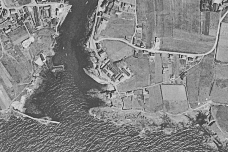
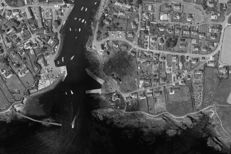
The same place, same framing: aerial photographs from the 1950s and today, centred on the footprint recorded by the heritage survey or on the record’s location.
The site through old maps
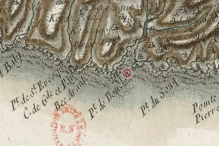
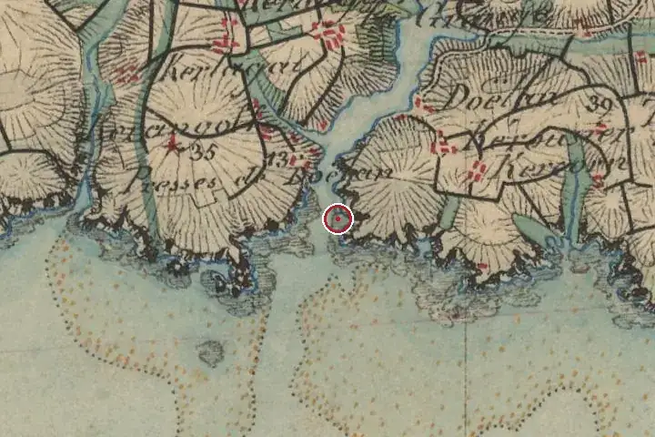
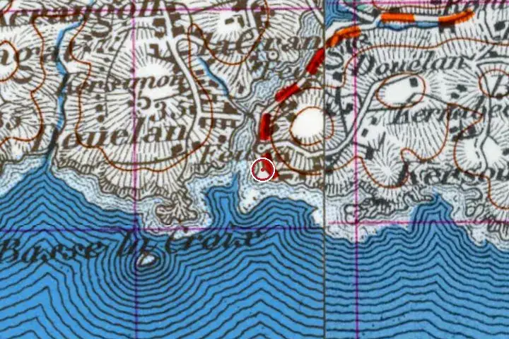
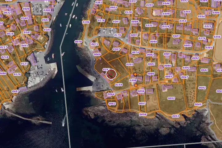
Three centuries of mapping, same centre: the red marker shows the location given by the record. Old place names, roads and woodland can be read on the Cassini and staff maps.
Further reading
References and official records.
- Dossier d’Inventaire IA29004307, Région Bretagne
- Archives départementales du Finistère. 3 P 34/2 à /8. Matrices cadastrales de Clohars-Carnoët (1823-1957).
- Archives départementales du Finistère. 222 W 45 à 53. Matrices cadastrales de Clohars-Carnoët (cadastre rénové : 1960-1970).
- Archives départementales du Finistère. 4 S 176. Rapport de l'ingénieur des Ponts-et-Chaussées sur la pétition Béziers, du 28 février 1897.
- LE THOËR, Pierre, GOZZI, Marcel. Clohars-Carnoët au fil du temps. Liv'Editions, 2008, p. 222-223
Around the house
House sales 2021–2025 within a radius of the record’s location (DGFiP land registry, single houses with known floor area). These figures describe the neighbourhood, never the house itself.
| Sales | Median price | Median €/m² | Median size | |
|---|---|---|---|---|
| Within 1 km | 35 | €440,000 | €3,607 | 116 m² |
| Within 3 km | 172 | €310,000 | €3,022 | 103 m² |
The local market
Aggregated town figures. Ti Kaer never links a named house to a sale price.
The sea-view premium in Clohars-Carnoët
Median price per m² of houses sold by distance to the shore, 2021-2025, all houses.
Other dossiers in Clohars-Carnoët
All dossiers


Questions
Can Conserverie Capitaine Cook be visited?
No: it is a private property and cannot be visited, except for occasional openings announced by the owners.
How old is Conserverie Capitaine Cook?
The oldest recorded parts date from the 19th–20th century.
Is Conserverie Capitaine Cook a listed building?
No. It is neither listed nor classified as a historic monument according to the databases consulted; it appears in the regional heritage inventory, which carries no constraint.
How far is Conserverie Capitaine Cook from the sea?
0.0 km from the shore as the crow flies. Quimper station is 43.9 km away and Quimper-Cornouaille airport 47.5 km.
Most of these houses are private homes and cannot be visited unless stated otherwise. No address is published.
A great house cannot be valued online.
A written valuation, prepared after a visit from comparable sales, for your eyes only. No publicity, no commitment.
Request a valuationHouses, before they are published.
Join the buyers’ list and receive, according to your search, the properties entrusted to us before they go online. In English or French.
Join the buyers’ listSources: regional heritage survey; Brittany regional heritage survey, Région Bretagne, record IA29004307 (patrimoine.bzh), open licence for the data, texts reproduced unchanged; distances computed from IGN municipal boundaries (Admin Express, open licence). Photographs: Wikimedia Commons, under the licence stated in each caption. Aerial views: IGN, open licence. Market: DGFiP land registry data, aggregated. Old maps and land registry: IGN, BnF, DGFiP, open licence. Additional facts: websites cited, consulted on 3 November 2026. No data on current owners.